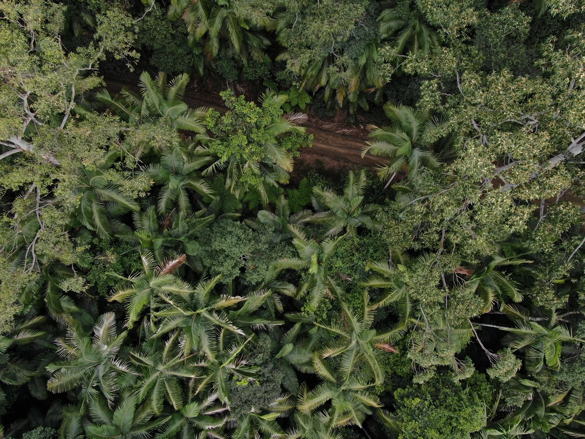
Time efficient, detailed data, improved safety and high quality imagery, this emerging technology has many applications.
drone SERVICES
Aerial survey has quickly become an integral tool across many industries. Drones are changing the game in terms of providing accurate mapping and inspections through highly detailed data and the highest quality imagery. At the same time improving safety and time efficiency by removing risks and costs of teams and their equipment surveying difficult to traverse terrain.
This is an emerging industry! We don’t limit ourselves to the environmental sector. If you have a project for which you would like to use drones please get in touch for a free feasibility consultation.
Our current experience includes;
Landscape, vegetation and water body mapping
Wildlife research and survey
Cultural heritage and archaeological survey
Real estate photography and inspection
Construction and Mining asset inspection
Agricultural inspection and photography
Off-road and adventure product testing
Marine survey
RPAS Training
General videography and photography
“To change ourselves effectively, we first had to change our perceptions”


